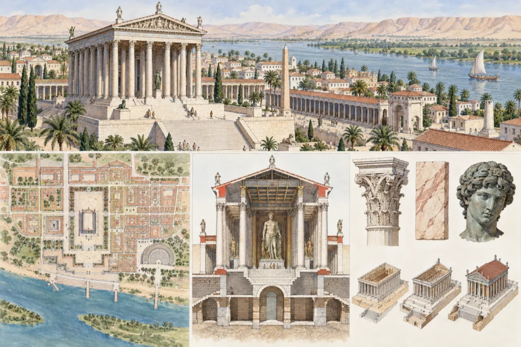
Identification and location
Antinoopolis, or Antinoe, lies at Sheikh Ibada, on the east bank of the Nile, in Middle Egypt, at approximate coordinates of 27° 48′ N and 30° 52′ E according to the surveys of the University of Delaware. The authors of these surveys, Steven E. Sidebotham and Ronald E. Zitterkopf, describe it as an urban trading post on the Nile, an emporium, founded by the emperor Hadrian following the drowning of his favourite Antinous in AD 130.
A foundation linked to the Red Sea road
The Via Hadriana was built in the reign of Hadrian (AD 117–138), in connection with the foundation of the city. Antinoopolis forms its north-western terminus, on the Nile, and the road reaches the Red Sea coast at Safaga. The 1997 season located about 430 to 440 kilometres of the route from Antinoopolis, roughly half of the total length. A Greek inscription of AD 137 describes the road as safe and level, provided with stations, guard posts and hydreumata, that is, fortified watering points.
Remains, quarries and finds
The 1996 survey identified quarries near Wadi Ibada and major works along the road, including a large ramp. These elements attest considerable investment. On the site itself, the surface pottery ranges from the Roman to the Byzantine period. This chronology, short in appearance but long in duration of use, invites us not to reduce the city to its Hadrianic foundation.
Antinoe in the collections
The Louvre record for a hanging known as the ‘Tenture au Jonas’ (hanging with Jonah) gives a radiocarbon date of about 320–420 and cites in its bibliography the exhibition Antinoe cent’anni dopo, held in 1998 at the Palazzo Medici Riccardi in Florence. The piece was acquired in 1968 from a collector; the record does not document its discovery, and a textile of this kind cannot therefore, without further proof, be attached to a particular sector of the city. The only certainties concern the existence of a group of textiles associated with the name Antinoe and its approximate date, not the tombs or workshops of origin.
Limits of the evidence and lines of research
The sources consulted do not make it possible to describe the orthogonal plan, the public buildings, the necropolises or the history of the early excavations at Antinoe; these points, often repeated in the general literature, have not been checked here and are therefore left aside. The central question is how the city, its road and its desert hinterland fit together: the quarries of Wadi Ibada, the ramp and the stations described by the inscription of AD 137 form a whole that a continuous topographic study could link more closely to the urban fabric.
Sources
Main sources (consulted on 30 September 2026): Steven E. Sidebotham and Ronald E. Zitterkopf, ‘Survey of the Via Hadriana by the University of Delaware: The 1996 Season’, BIFAO 97, Institut français d’archéologie orientale (IFAO, French Institute of Oriental Archaeology), 1997; Steven E. Sidebotham and Ronald E. Zitterkopf, study of the Via Hadriana, 1997 season, BIFAO 98, IFAO, 1998, pp. 353–365; ‘Tenture au Jonas’ (hanging with Jonah), Musée du Louvre.