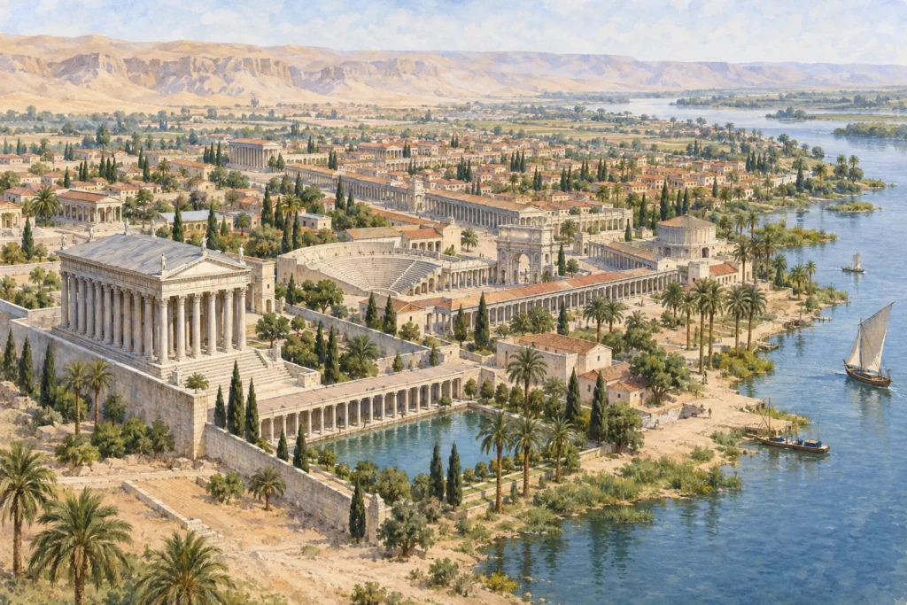
In brief
Antinoopolis, also called Antinoe, lies on the east bank of the Nile, in Middle Egypt, at the place called Sheikh Ibada. It was founded after the drowning of Antinous, the favourite of the emperor Hadrian, in AD 130. The scholars who have studied the Roman road leading from the city describe it as an urban trading post on the Nile, an emporium geared to trade and communications. It was therefore not only a commemorative foundation: it was also an anchor point of Hadrian’s policy in the valley.
What you discover
The sources consulted document mainly the surroundings of the site and its road. The surveys of the University of Delaware, carried out in 1996 and 1997, located at Antinoopolis the north-western terminus of the Via Hadriana, which led all the way to the Red Sea. The surface material, mostly pottery, belongs to the Roman and Byzantine periods, which indicates a long occupation rather than a mere imperial episode. The coordinates recorded, about 27° 48′ north and 30° 52′ east, make it possible to locate the urban centre precisely.
What to look at
The clearest detail is a Greek inscription dated to AD 137. It describes the road as safe and level, provided with stations, guard posts and hydreumata, that is, fortified watering points. This text links the city to the Eastern Desert and shows that Hadrian’s foundation was accompanied by practical facilities: staging posts, watch posts, cisterns. The surveyors also found quarries near Wadi Ibada, as well as a large ramp, material traces of a road-building project on a large scale.
Its history
The construction of the road is placed in the reign of Hadrian (AD 117–138), in connection with the foundation of Antinoopolis. The scholars give 130 as the date of the death of Antinous. The pottery, Roman and then Byzantine, extends the history of the city beyond its founder. A textile fragment in the Musée du Louvre, radiocarbon-dated to about 320–420, refers in its bibliography to the exhibition Antinoe cent’anni dopo, shown in Florence in 1998. This reference shows that textiles from the region are still linked to the memory of the city. The museum record does not, however, specify their excavation context.
Caution is therefore needed. The sources consulted describe neither the internal plan of the city, nor its public buildings, nor the location of any sanctuary of Antinous. Erosion, stone extraction and modern occupation have erased much of the urban fabric. What can be stated concerns the foundation, the road and the long duration of occupation.
Sources
Consulted on 30 September 2026: Steven E. Sidebotham and Ronald E. Zitterkopf, ‘Survey of the Via Hadriana by the University of Delaware: The 1996 Season’, BIFAO 97, Institut français d’archéologie orientale (IFAO, French Institute of Oriental Archaeology), 1997; Steven E. Sidebotham and Ronald E. Zitterkopf, study of the Via Hadriana, 1997 season, BIFAO 98, IFAO, 1998, pp. 353–365; ‘Tenture au Jonas’ (hanging with Jonah), Musée du Louvre.