In brief
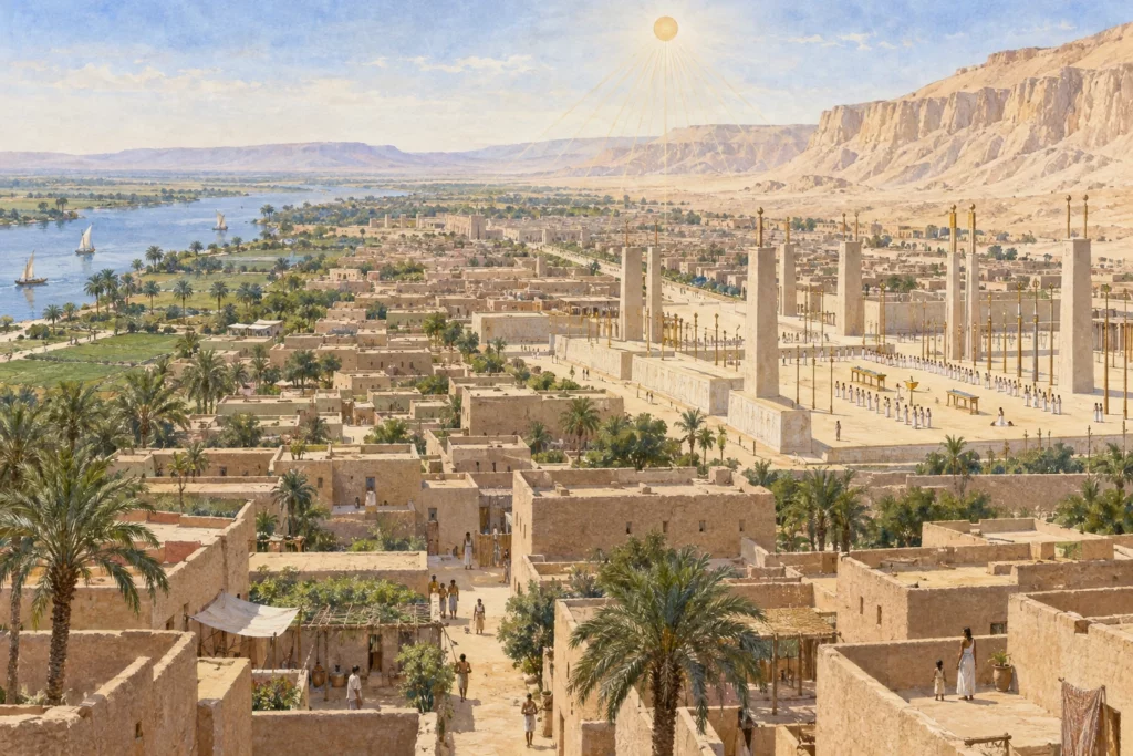
Akhetaten, now Tell el-Amarna, was the capital created by Akhenaten for the cult of the Aten in the 14th century BC. The site runs along the east bank of the Nile, at the foot of cliffs. The city served only briefly as a political centre, but its quarters, temples and texts offer rare evidence of urban life in the New Kingdom.
What you discover
The Central City brought together the two great sanctuaries of the Aten, the state palace and administrative buildings. Elsewhere stretched houses, workshops and service areas. The Royal Road crossed the monumental heart. The stelae carved into the cliffs marked the limits of the territory proclaimed by the ruler: they do not trace the line of the streets. Today, mainly low remains can be seen. Some of the stone buildings were dismantled after the Amarna period; the mudbricks and the traces of foundations preserve other information.
Its history
The proclamations of the boundary stelae belong to years 5 and 6 of Akhenaten’s reign, with a reaffirmation in year 8. They describe the royal project, while archaeology reveals how the buildings were actually constructed and occupied. After the capital was abandoned, stone blocks were reused elsewhere. The excavations of the 1930s cleared the Central City; recent research is also re-examining the residential quarters left exposed since the early excavations.
Why this place matters
Amarna makes it possible to study together a royal religious programme and the daily life of those who kept it going. The plans of the temples and palaces tell only part of the story: houses, ovens, storerooms and refuse shed light on production and supply. The fragile remains also show why a spectacular view of the intact city would be a reconstruction, never a photograph of the excavated state.