Identification and location
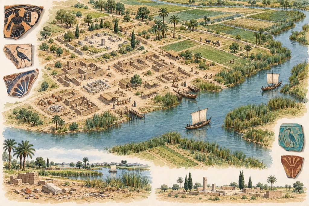
Naucratis (Naukratis) corresponds to the site of Kom Gi’eif, in the Beheira governorate, on the bank of the former Canopic branch of the Nile, in the western Delta. The villages of Abu Mishfa, to the north, and el-Baradany, to the south, cover part of it. The town, which served as the port of Sais, the royal residence of the 26th Dynasty, was occupied from the end of the 7th century BC (around 620) until around AD 650. At its peak, the settlement covered at least 52 hectares, excluding cemeteries and canals.
An emporion between two economies
The Greek presence is attested from the 7th century BC. Later Greek tradition made Naucratis a Milesian colony; it was in fact a trading port open to many cities. According to Herodotus (II, 178 ff.), Amasis (570–526 BC) settled Greeks there, and the port for a time held the exclusive right to Mediterranean trade entering Egypt. Miletus, Samos and Aegina had their own sanctuaries there; Chios, Clazomenae, Teos, Phocaea, Rhodes, Halicarnassus, Cnidus, Phaselis and Mytilene had the Hellenion as their religious centre. Stefan Pfeiffer describes the emporion as a buffer zone between the Egyptian redistributive system and Greek free trade. In the Ptolemaic period, Naucratis obtained the status of a polis.
The Great Enclosure of Amun-Ra
The south of the town was dominated by the Great Enclosure, an Egyptian temenos of 298 × 259 metres dedicated to Amun-Ra and associated deities, closed by a mud-brick wall and opened by a pylon of 107 × 24 metres built under Ptolemy II. A sanctuary had existed on this site at least since the 6th century BC. Magnetometry has revealed there a rectangular building of 47 × 35 metres, probably the temple, poorly aligned with the pylon and therefore perhaps earlier, as well as a casemate structure 21 metres square. A stretch of stone quay 13 metres long, uncovered at el-Baradany, probably marked the river access of the processional way lined with rams and sphinxes.
The port, ‘Mistress of Ships’
Cores have located the Canopic channel, 3 to 5 metres deep near the bank, which shifted 86 metres westwards during the twelve or so centuries of the port’s activity. Fragments of the hulls of Mediterranean ships, including a pine plank with mortise and tenon deposited at the latest at the beginning of the 4th century BC, confirm the arrival of seagoing vessels. To the north, the 2015 excavations clarified the first phases of the Hellenion, built on a platform, and located the sanctuary of the Dioscuri with certainty thanks to an East Greek cup bearing a dedication.
From Petrie to the British Museum project
Petrie and Gardner excavated the site in 1884–1886, Hogarth in 1899 and 1903, Coulson and Leonard from 1977 to 1983. The sanctuary area was then covered by a lake until 2011. The British Museum project Naukratis: Greeks in Egypt (2004–2024), directed by Alexandra Villing, has catalogued more than 18,000 objects from the old excavations, scattered across more than 70 museums. Fieldwork, resumed in 2012 under the direction of Ross Thomas, has yielded more than 42,000 objects in 38 trenches. Petrie’s plans, whose surveys contain inconsistencies, remain to be reconciled with the geophysics, and the phasing of the enclosure of Amun-Ra remains debated.
Sources
Main sources (consulted on 30 September 2026): The harbour of Naukratis, British Museum; Stefan Pfeiffer, ‘Egypt and Greece Before Alexander’, UCLA Encyclopedia of Egyptology, 2013; Ross Thomas, ‘Naukratis, “Mistress of Ships”, in Context’, in D. Robinson and F. Goddio (eds), Thonis-Heracleion in Context, Oxford Centre for Maritime Archaeology, 2015.