In brief
South-east of the Giza plateau, Heit el-Ghurab preserves the traces of a vast settlement linked to the pyramid building sites. The best-known levels relate mainly to Chephren and Mycerinus, in the 4th Dynasty; older remains may go back to Cheops. The place lets us look behind the monuments: here researchers study the housing, workshops, food and administration of the teams who worked for the crown.
What you discover
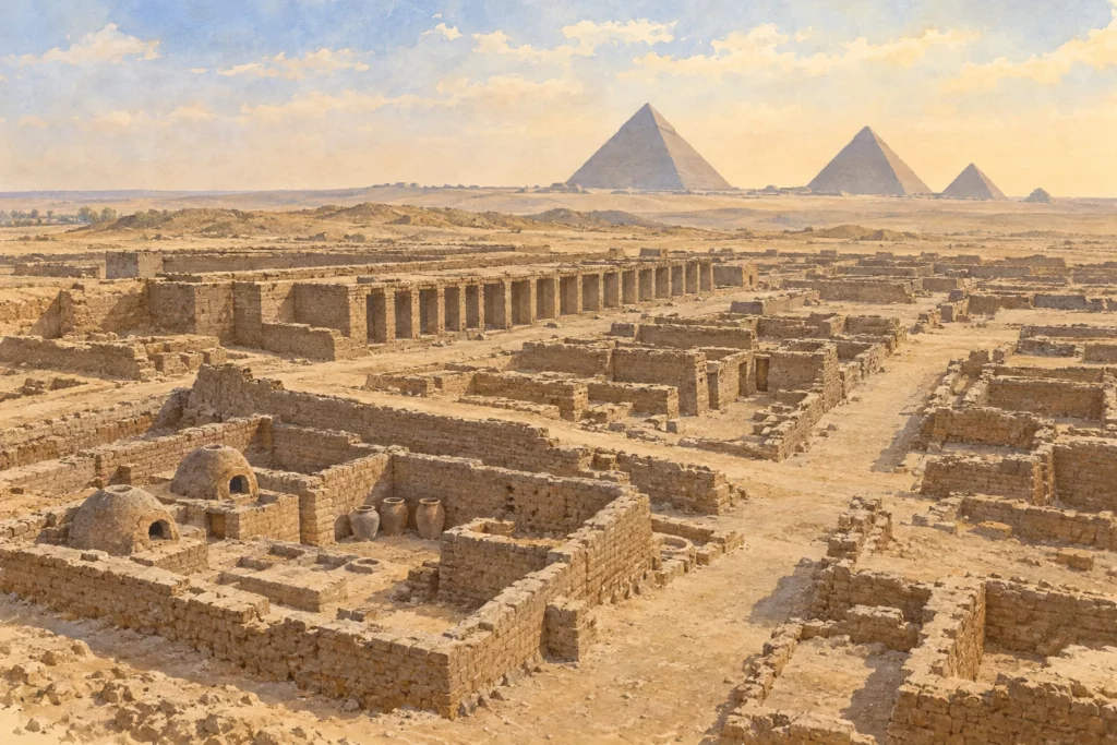
Excavations have uncovered the foundations of houses, long galleries, streets, storerooms and a royal administrative sector. Bakeries and ovens show food being prepared on a large scale. Bones of fish, birds and domestic animals tell us about diet. Seal impressions reveal administrative operations. On the neighbouring slope, a cemetery linked to the settlement contains tombs of varied status. The exact function of the large galleries, often interpreted as communal lodgings, is still debated.
Its history
The settlement is not a single camp frozen at the date of the Great Pyramid of Cheops. The surviving phases belong mainly to the reigns of Chephren and Mycerinus; an earlier occupation is possible. From the 1980s, the team of Mark Lehner and Ancient Egypt Research Associates mapped and then excavated this sector. The study of walls, pottery, bones, plants and seals has gradually revealed a complex organisation, with spaces for production, storage and living.
Why this place matters
Heit el-Ghurab shows that building pyramids also meant housing, feeding and coordinating people. The discoveries make it possible to discuss the make-up of the teams and the distribution of resources on the basis of material evidence, without imagining a uniform population. The large galleries are not automatically ‘slave barracks’: their precise use needs to be examined. The two separate images are created compositions, not metric surveys or exact views of an excavated level.