In brief
Philadelphia occupies the north-eastern corner of the Faiyum, in the western part of Kom el-Kharaba el-Kebir, near the small town of Girza. It belongs to the series of foundations established under the first Ptolemies along a new irrigation network, and its name honours Queen Arsinoe II Philadelphus. Administered as a village in the Hellenistic and Roman periods, it fell into oblivion around the beginning of the 5th century AD. Its fame rests first on the papyri, in particular the archive of Zenon, which sheds detailed light on the management of a large estate in the 3rd century BC.
What you discover
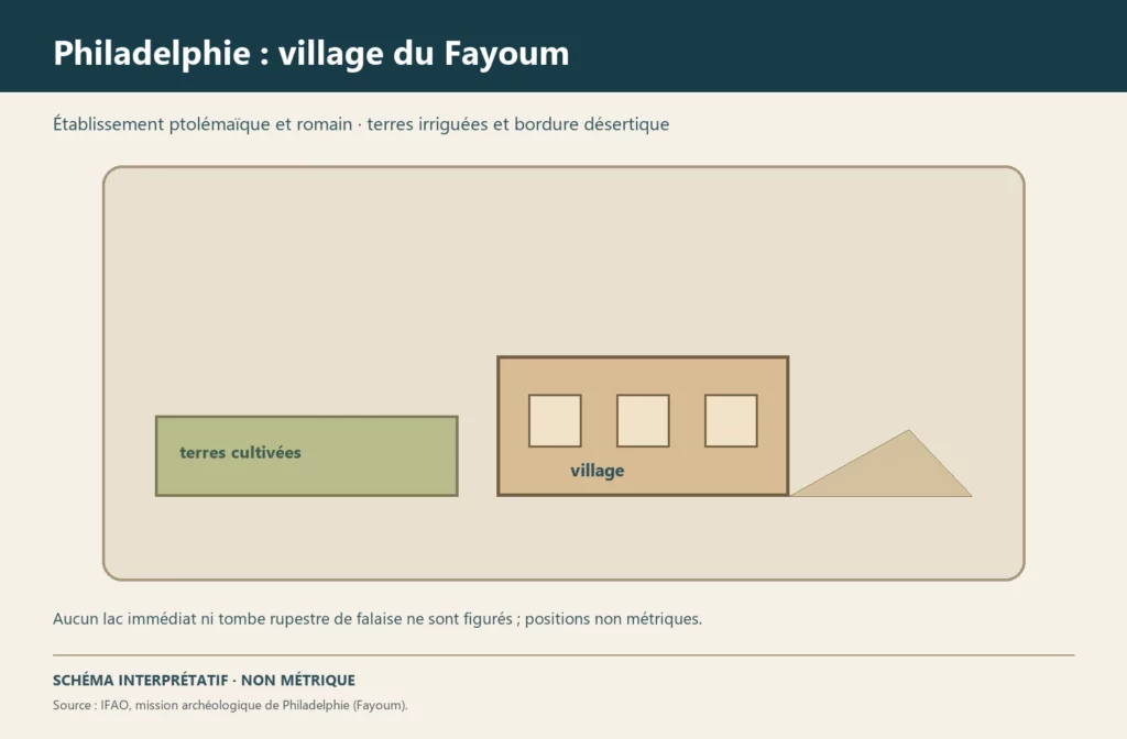
The site extends over about 2 kilometres from north to south and 1.5 kilometres from east to west, between the modern Bahr Wahbi canal to the west and desert hills to the south-east. The Girza road cuts it into two zones; to the south, modern cemeteries encroach on the ancient settlement. The eye meets neither a temple nor standing walls: the village has been heavily levelled by sebakh diggers and antiquities hunters, and its plan can be read mainly at ground level. Recent seasons have nevertheless uncovered the limestone foundations of a building of unknown function, the remains of a probable granary, Roman baths and house cellars, as well as craftsmen’s quarters marked by their kilns.
What to look at
The most telling detail is the geometry. In the southern zone, foundation trenches cut into the rock follow strictly the north–south and east–west axes: they confirm the orthogonal plan sketched in 1924 by Ludwig Borchardt and visible on an aerial view taken by the Royal Air Force in 1925. This grid is the signature of a town created at a stroke by the Ptolemaic administration.
The second detail is a craft one: a battery of two kilns, dated to the second half of the 3rd century BC by the pottery found with it, yielded unfired clay. It is the earliest known evidence of the production, in the Faiyum, of amphorae imitating the Rhodian style.
Its history
The village owes its fame to clandestine digging: at the turn of the 20th century, hundreds of Greek papyri from the mound reached the antiquities market. The only early archaeological operation was carried out in 1908–1909 by Paul Viereck and Friedrich Zucker for the Berlin museums. Since 2015, a mission combining the Institut français d’archéologie orientale (IFAO, French Institute of Oriental Archaeology) and the Austrian Academy of Sciences has been studying the town planning, the water system and the routes of the village.
The necropolis raises other questions. In the 19th century, hundreds of mummy portraits, known as the Er-Rubayyat portraits, were exported by the Viennese dealer Theodor Graf, without any excavation context; their attribution to Philadelphia is now debated. An Egyptian mission has since identified in the necropolis phases of occupation from the 3rd century BC to the 4th century AD and found a complete portrait in place, which helps to date the portraits dispersed among museums.
Sources
Consulted on 30 September 2026: Philadelphie, Institut français d’archéologie orientale (in French); Basem Gehad, Lorelei H. Corcoran et al., ‘Newly Discovered Mummy Portraits from the Necropolis of Ancient Philadelphia, Fayum’, BIFAO 122, 2022; Judith Barr, ‘From All Sides: The APPEAR Project and Mummy Portrait Provenance’, J. Paul Getty Museum, 2020.