Identification and location
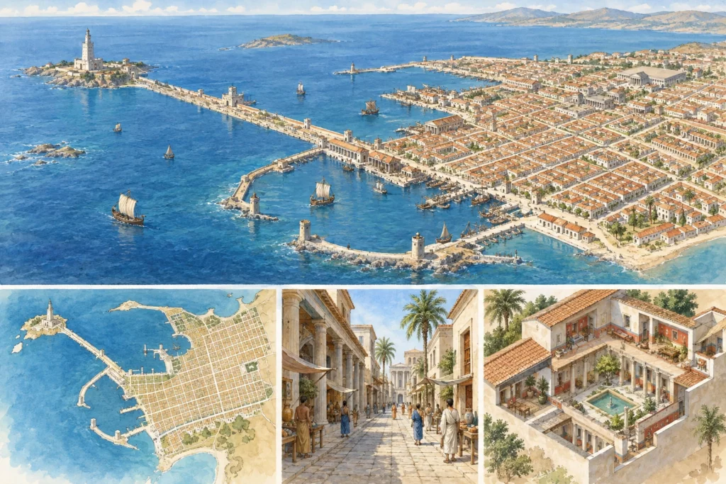
Alexandria lies on the Mediterranean coast of Egypt, at the western edge of the Delta, between the sea and Lake Mareotis. Founded by Alexander the Great in 331 BC, it was the capital of the Ptolemies and then one of the great metropolises of the Roman Empire. Jean-Yves Empereur dates to January 331 BC the settlement of Alexander’s companions on the natural bedrock, which excavations now reach only after some twelve metres of superimposed levels.
A city buried beneath itself
The ancient city is almost nowhere preserved standing. Its orthogonal plan, whose orientation derives from the axis of the Heptastadion, the dyke linking the island of Pharos to the mainland, and from the Canopic Way perpendicular to it, organised royal quarters, sanctuaries, houses and harbours, with necropolises on the outskirts. This thick stratigraphy explains the rarity of accessible Hellenistic remains. Empereur stresses, however, that contrary to what more than a century of excavation had suggested, remains of the Macedonian city still survive beneath the modern city.
The Brucheion and urban rescue excavations
The urban rescue excavations of the Centre d’études alexandrines (CEAlex, Centre for Alexandrian Studies, then joint service unit 1812 of the CNRS) began in 1992. By 2002, some twenty operations had been carried out, at sea and on land. They are most often emergency interventions during the demolition of a dilapidated building due to be replaced by a tower block, which leave archaeologists a few weeks or months to probe the subsoil.
The Brucheion district, next to the royal palaces, offers an example. Between 1994 and 1997, the CEAlex carried out several rescue excavations there, named after the modern occupants of the plots: the Cricket Ground, the garden of the British consulate, the Diana theatre and the Radio cinema. They revealed dwellings going back to the very beginnings of the urbanisation of Alexandria; at the Diana theatre, occupation can be followed until the 11th century. The study of the fine pottery, the stamped amphora handles, the bone and ivory objects and the bronze coins is being published.
The royal quarter beneath the waters of the Eastern Harbour
Part of the Ptolemaic royal quarter now lies under the sea, in the Eastern Harbour, which extends from Ras el-Silsila in the east to the citadel of Qaitbay in the west. According to the Egyptian Ministry of Tourism and Antiquities, the area covers about 600 hectares, at depths of 2 to 8 metres, and kept an administrative role in the Roman and Byzantine periods. Modern exploration began in 1961 with the diver Kamel Abu el-Saadat; in 1992, the European Institute for Underwater Archaeology (IEASM), directed by Franck Goddio, drew up a topographical survey of it. The teams have identified there the island of Antirhodos, the Timonium peninsula, stone jetties and remains that they attribute to a palace, a theatre and a temple of Poseidon.
Reading the city in fragments
A few complexes remain visible on land, such as Kom el-Dikka, the hill of the Serapeum with Diocletian’s column, known as Pompey’s Pillar, and the catacombs of Kom el-Shuqafa. Research focuses on the ancient topography, the line of the shore, the publication of the many rescue excavations and the location of the great monuments known from texts, whose reconstructions remain partly hypothetical.
Sources
Main sources (consulted on 30 September 2026): Jean-Yves Empereur, ‘Du nouveau sur la topographie d’Alexandrie’, Comptes rendus de l’Académie des inscriptions et belles-lettres, 2002 (Persée) (in French); The Brucheion district, Centre d’études alexandrines (in French); Eastern Harbor, Egyptian Ministry of Tourism and Antiquities.