Identification and location
Tell el-Dab’a lies in the eastern Delta, near present-day Faqus. The Austrian Archaeological Institute identifies the site with certainty as Avaris, capital of the Hyksos kings of the 15th Dynasty, then as the southern area of Pi-Ramses in the 19th and 20th Dynasties. This geographical continuity does not erase the changes of power, plan and environment. A 12th-Dynasty phase is known at Ezbet Rushdi, with a sanctuary linked to the cult of Amenemhat I. The site therefore offers a long sequence, not a single Hyksos city. The location of Avaris favoured exchange: the Pelusiac branch of the Nile opened access to the Mediterranean, while the Way of Horus crossed northern Sinai towards the Levant. The port and waterways are being studied by the Austrian team with geomorphological and archaeological data. The amphorae and other imports show the importance of trade relations. They do not allow an exact route to be reconstructed for each cargo or the origin of all the inhabitants to be identified.
General presentation
The excavations have documented residential districts, palatial spaces, temples, tombs and deposits. Each sector belongs to its own stratigraphy. Material traditions linked to the Levant appear in the town before and during Hyksos rule, but archaeology does not match a category of pottery with a homogeneous people. The inhabitants may have had varied backgrounds and practices. The word Hyksos applies first of all to the ruling group known from Egyptian sources.
Monuments and remains
The old branch of the Nile changed course and eventually silted up. Reconstructions of the harbour landscape combine test pits, sediment maps and built remains. The present visible surface is not a transparent image of ancient town planning.
Chronology and building phases
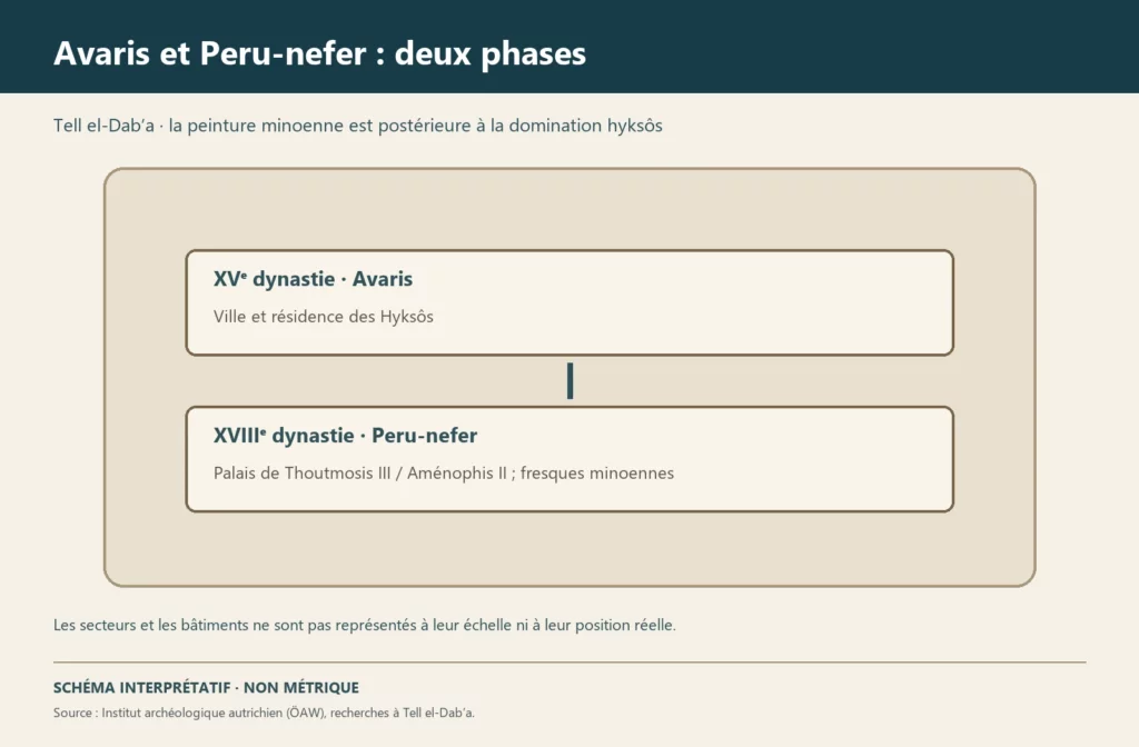
The city was a political and economic centre of the Second Intermediate Period. Its strategic role should not be reduced to the war between the Hyksos and the Theban rulers: harbour activities, production, cults and domestic life are just as well documented. The decline of Hyksos rule does not mean the immediate abandonment of all the districts. The later transformation into a sector of Pi-Ramses requires the Ramesside remains to be distinguished from those of the older port.
History and functions
The first investigations go back to the end of the 19th century; the Austrian team has been conducting a long-term programme since 1966. The excavations have changed our understanding of Avaris by linking field sequences, pottery and topography. The absolute dates of the 15th Dynasty vary according to the chronologies, but the order of the layers gives more direct relationships. Publications by sector remain necessary to attribute a wall, a tomb or a vessel to a precise phase.
Excavations and the history of research
Popular reconstructions sometimes show a great palace and a fleet at the same time as all the known districts. Such a scene can be useful for imagining the scale of a port, but it assembles data scattered in space and time. The discovery illustration explicitly presents it as an evocation.
What we still do not know about the port of Avaris
Since 2013 the Austrian Archaeological Institute has been carrying out systematic excavations in sector R/A, supported by geophysical surveys that have made it possible to locate in the present terrain the depression of a large basin linked to the Nile by two channels, to the north and south. A massive town wall and a Middle Kingdom canal have been uncovered in the area of the presumed harbour.
Several points remain to be established: whether the basin was natural or artificial, the location of the other moorings and harbour installations, and the real extent of the harbour-related facilities in the town. At its peak under the 15th Dynasty, the city exceeded 260 hectares, which makes complete exploration unlikely in the short term.
Sources
Main sources: Österreichisches Archäologisches Institut, ‘Tell el-Dab’a / Avaris’, https://www.oeaw.ac.at/en/oeai/institute/branches/cairo/excavations-projects/tell-el-dab%CA%BFa; The harbour of Tell el-Dab’a, Österreichisches Archäologisches Institut (consulted on 27 September 2026).