Thebes is not a point added next to Luxor on a map. It is a landscape divided by the Nile. To the east, the great sanctuaries; to the west, the mountains of the tombs and the mortuary temples. Between the two, the river carries the eye from one bank to the other.
Two banks that answer each other
The sanctuaries of Karnak and Luxor developed on the east bank. To the west lay the necropolises, the mortuary temples and the settlements linked to their upkeep. This division was not an absolute separation. Processions, workers and families crossed the river. The ensemble recognised by UNESCO owes its value precisely to this breadth: numerous monuments brought together in a single territory.
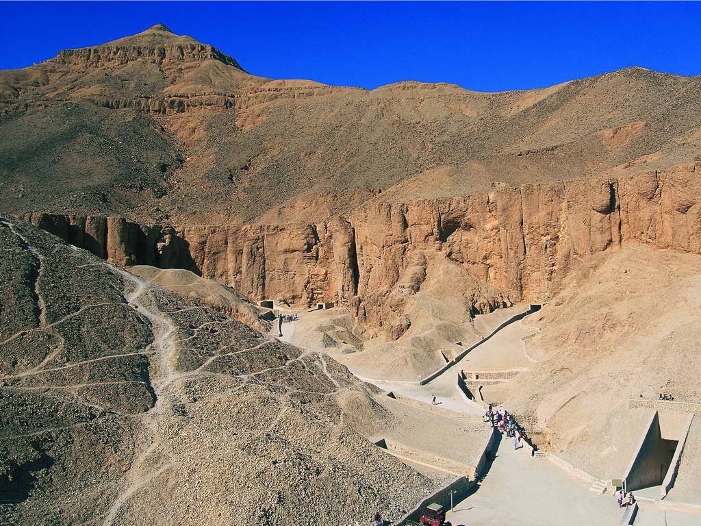
The mountain of the tombs
On the west bank, the rock changes colour with the sun. The Valley of the Kings opens its corridors in this relief. The Valley of the Queens and the tombs of officials widen the funerary landscape further. Paintings and inscriptions speak of beliefs and rites, but also of trades, gestures and relations with other regions. The royal names are only part of the story.
Monuments in the landscape
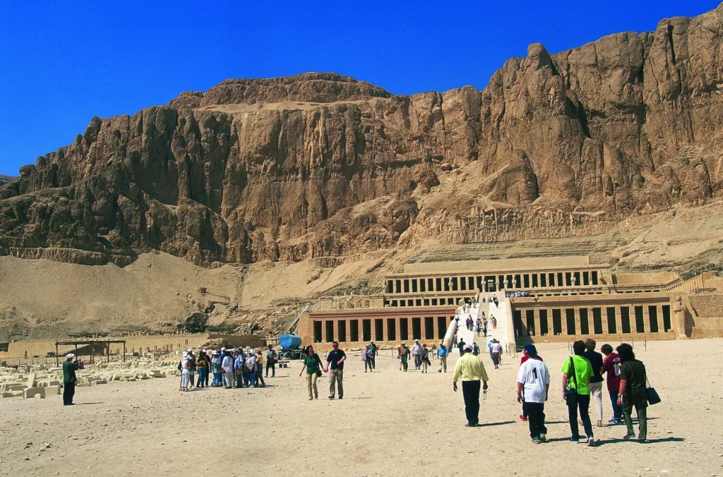
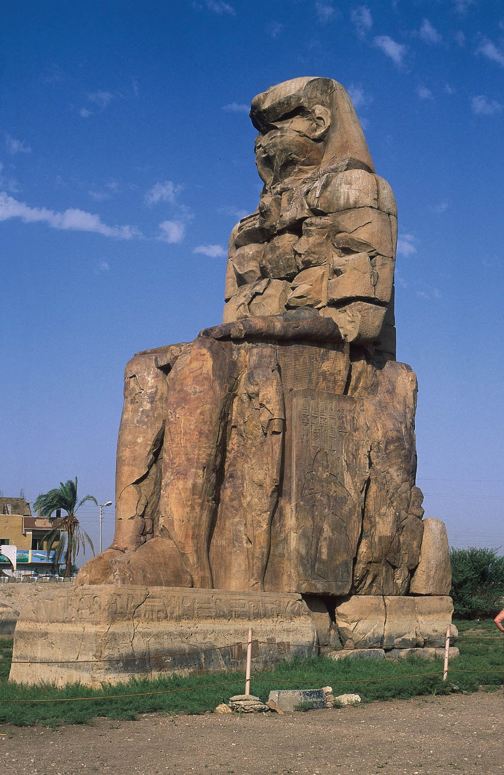
The Colossi of Memnon mark the site of the former mortuary temple of Amenhotep III. Further on, the temple of Hatshepsut spreads its terraces against the cliff. Each monument is in dialogue with the mountain, the approach routes and the land near the river. Looking at them as separate objects would lose part of their meaning. The landscape holds the places together.
A territory still studied
Thebes goes on yielding knowledge to archaeologists. The conservation of its sites remains daily work. What we see today is the result at once of ancient building, of transformations and of modern efforts to study and preserve them. This long span calls for caution before over-simple images of a city of the dead set against a city of the living.
Crossing the river again
The Nile remains the thread of the route. At Luxor a sanctuary of the east bank can be followed; here the temple takes its place within the Theban whole. On the other side, the mountain recalls how far the ancient city went beyond the limits of a single monument. The map helps to measure this relationship between the two banks.